Hoppa till innehåll
^^

Weather/Rain Radar and Lightning activity

Sammanställning av några nederbörd- och åskradars. Klicka på bilderna nedan för en större versioner. Informationen nedan hjälper till att få en uppfattning om hur systemen runt om oss rör sig samt huruvida nederbörd och åska är i antågande. Se även:
> Våra prognoskartor för kommande nederbörd och åska
> Vår åsktracker från Blitzortung

Regn- och blixtradar från SMHI

Vi får tyvärr inte visa DMIs radarbild direkt men deras radarsida finns tillgänglig här
Radarinformation från DMI

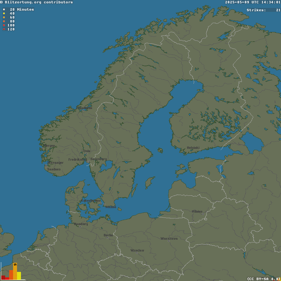
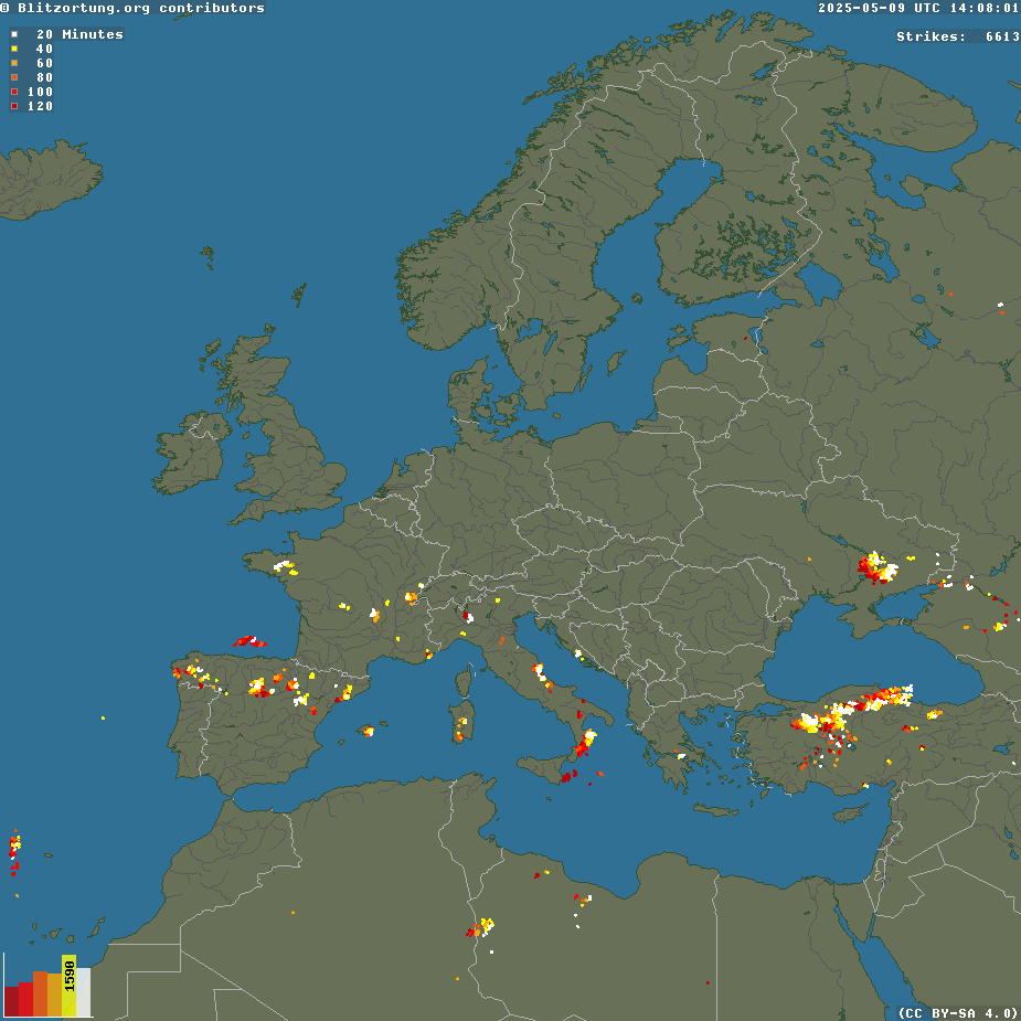
Blixtar runt Särö/Budskär

Visa live blixtar

Blixtinformation från Blitzortung

Aktivitet - Skandinavien Aktivitet - Europa
 

Interaktiv radar från Weatherunderground

Klicka på bilden för fler detaljer...
Värderinformation från WeatherUnderground

WEATHER TRIVIA -  Weather TermsOutlook - A hazardous weather outlook is issued daily to indicate that a hazardous weather or hydrologic event may occur in the next several days. The outlook will include information about potential severe thunderstorms , heavy rain or flooding, winter weather, extremes of heat or cold, etc., that may develop over the next 7 days with an emphasis on the first 24 hours of the forecast. It is intended to provide information to those who need considerable lead time to prepare for the event.